The Berkeley Planning Commission will hold its monthly meeting later today at the North Berkeley Senior Center. One of the meeting’s main focuses will be the new San Pablo Avenue Specific Plan, which will guide the future development of the entire San Pablo Avenue economic corridor. If approved by the planning commission, this plan may have far-reaching impacts on the future of development in a large swath of Western Berkeley.
The main focus of the plan includes the rezoning and recommendation for targeted city investment on nearly all parcels directly abutting San Pablo Avenue. Several zoning changes are to be made for these parcels, including the notable raising of the base height restriction for all mixed-use properties from 50 feet to 75 feet. Meanwhile, the planning department is proposing code changes that would incentivise the expansion and maintenance of increased sizewalk, plaza, garden, or other publicly accessible streetfront spaces along the corridor, promoting greater pedestrian usability.
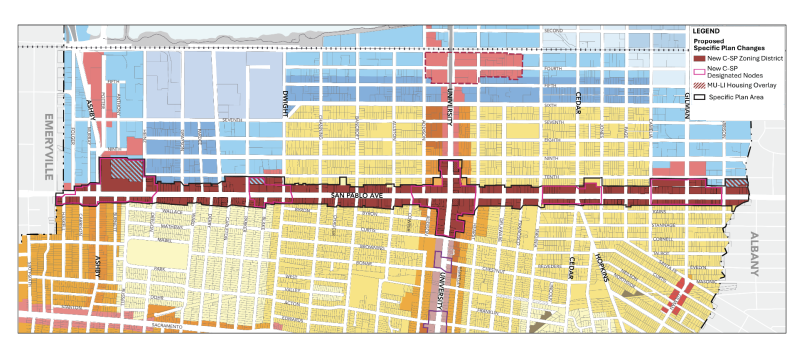
San Pablo Avenue Specific Plan Zone Map, image via The City of Berkeley
Beyond San Pablo Avenue, the plan will also include some recommended changes to areas within two blocks of the thoroughfare, most notably where it intersects with University Avenue. However, the majority of changes are focused directly on San Pablo Avenue. The proposed plan attempts to maximize development opportunities along the high-volume transportation corridor, while preserving the lower-density neighborhood areas immediately adjacent to it. Ideally, this will allow further commercial and housing development to occur without a significant impact on the existing West Berkeley communities.
Notably, the plan only functions as a guiding principle of city development, which is provided by the urban planning department. Because the specific plan is a policy change and not a direct development proposal, much of the development and hoped-for changes outlined by the plan may take years or even decades to become fully apparent along the corridor. While some parts of it may be delivered directly by Berkeley Public Works or other city departments, much of its content will be fleshed out by future private investment by the individual property owners who decide to take advantage of the expanded zoning allowances and incentives. For example, part of the plan’s incentive for increasing sidewalk space includes that the Outdoor Commerce Use Fee would be waived for 10 years from permit issuance, where sidewalks are widened for commercial uses by private developers.
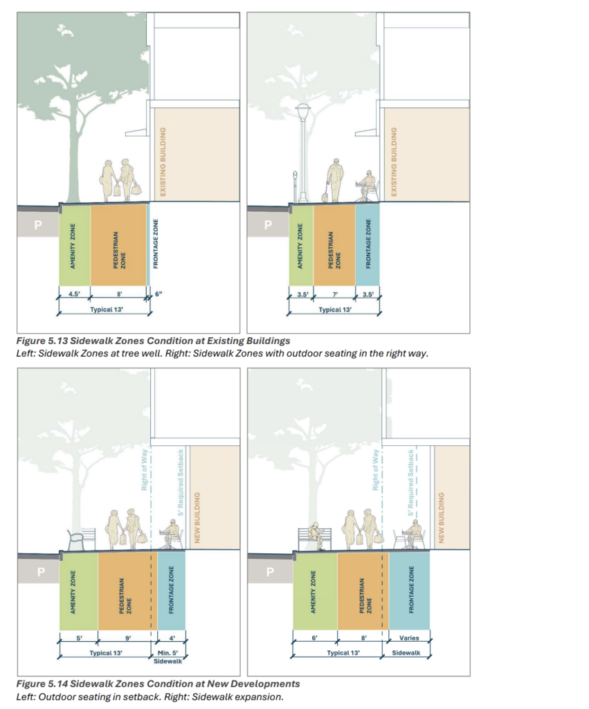
San Pablo Avenue Specific Plan Example of Modifications Made to Sidewalk Width, image via City of Berkeley
However, the long-term result will be a scaling up of the height and density of the buildings along San Pablo Avenue, resulting in more residential units, more commercial business areas, and increased overall density. The city hopes that this will serve to increase employment, increase tax revenues, and help alleviate demands for housing in the western region of Berkeley. The plan calls for the City’s investment in small business development and affordable housing sponsorship to help ensure their incorporation as part of future developments in the area. The plan also investigates what necessary infrastructural changes will need to be made in order to manage the increased demand on transportation and utilities along the corridor.
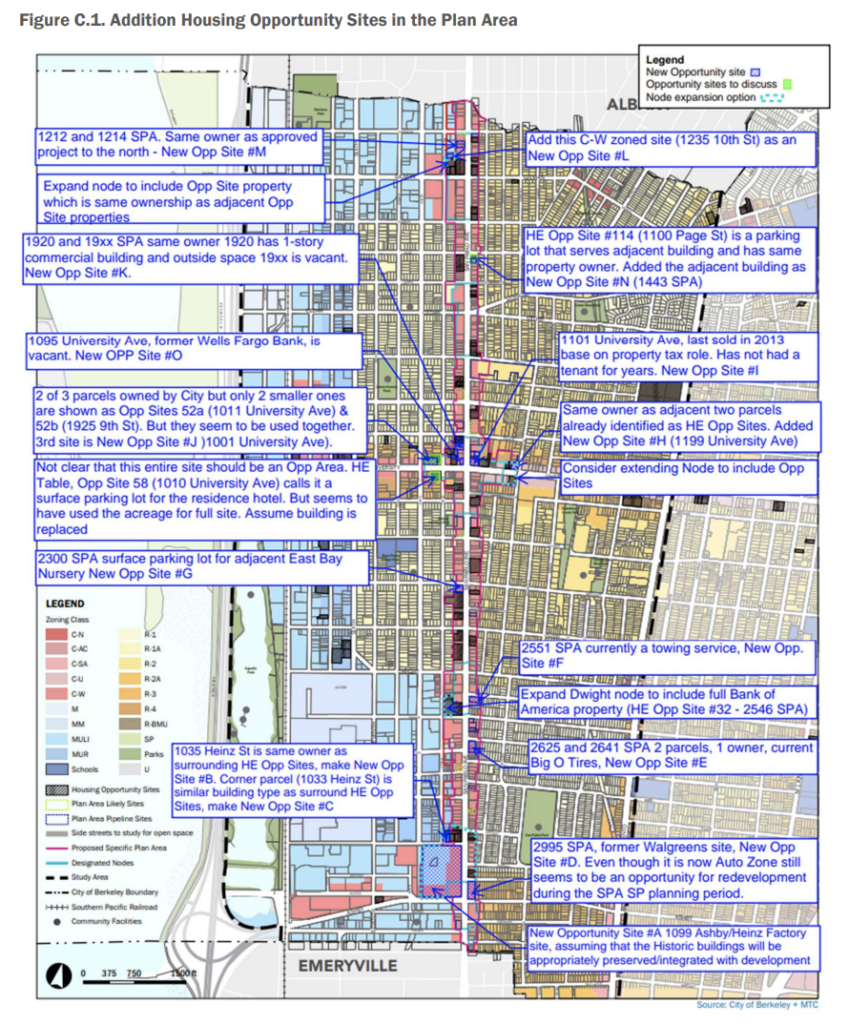
San Pablo Avenue Specific Plan Additional Housing Opportunity Map, image via City of Berkeley
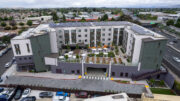
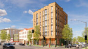
All of these details are consistent with recent trends in new development, both along the San Pablo Corridor and in other parts of Berkeley. Several mixed-use projects are already proposed or under construction along San Pablo Avenue, with emphasis and recommendations for their design and function falling in line with the proposed specific plan. However, the demand for more rapid and widespread development is present across all of Berkeley, with several regions of the city suffering from housing shortages or other necessary improvements. The plan’s primary goal would not drastically change the current development trajectory for San Pablo Avenue, but simply expedite it and increase its scale.
In order to view or participate in the meeting, members of the public may attend in person or by video. The in-person location is at the North Berkeley Senior Center, 1901 Hearst Avenue, Berkeley, CA. Details on virtual attendance can be found on the City of Berkeley’s website, here. Full texts of the San Pablo Avenue Specific Plan can also be found on the City of Berkeley website, here. The meeting will begin at 6:30 pm PST.
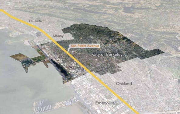
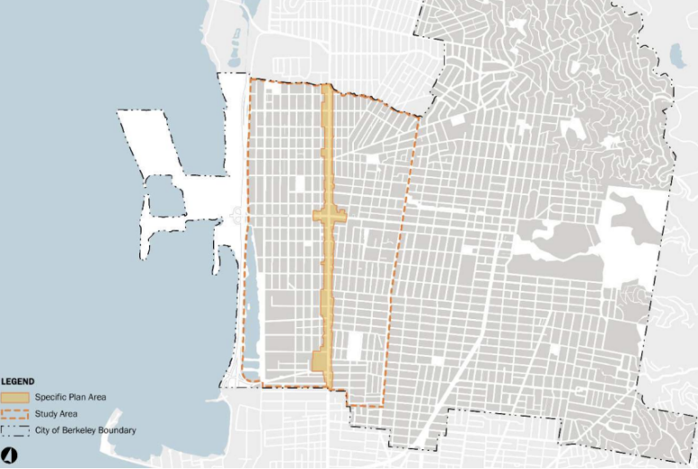
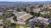
Map of Berkeley with San Pablo Avenue Highlighted, image via City of Berkeley
Subscribe to YIMBY’s daily e-mail
![]()
Follow YIMBYgram for real-time photo updates
Like YIMBY on Facebook
Follow YIMBY’s Twitter for the latest in YIMBYnews
Be the first to comment on "Today’s Berkeley Planning Commission Meeting to Discuss the San Pablo Corridor Specific Plan"